South Lawson Drive
Views south of town on Lawson Drive

Here is a double wide view of Maplewood Drive / Lawson Drive. This road along the lake would become State Highway 23 and then later South Lawson Drive. You can see the early view of Hattie Sherwood Beach Island in the center of the photo. You can see the reeds growing behind the island, showing how low the water level was.
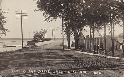
This card is a view looking south. The Captain Pierce’s Boat house is to the right. Looks like Captain Pierce is relaxing by the front door. Norton’s Marina can be seen just past the bridge on the lake side.
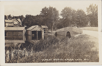
One of the first projects advanced by the residents of Dartford was the building of a bridge and causeway from the village West towards Princeton. This bridge crossing the Green Lake outlet to the Puchyan River would later become part of South Lawson Drive. Captain Pierce’s Boat houses & livery office can be seen across the channel.
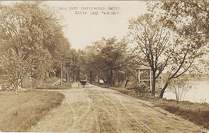
By 1912 Victor Lawson had started the last bit of road from his estate to the C&NW Depot. Here we see a horse pulling a buggy past the Techura Spring at the Maplewood Hotel.
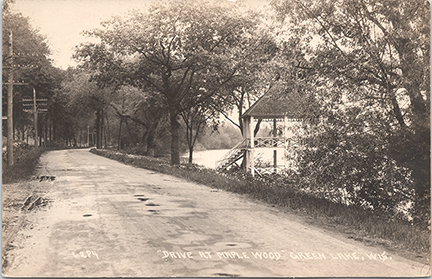
This postcard dated 1922, shows that the spring house has held up very well over the last 10 years. The Maplewood was at it’s peak during the 1920’s & 1930’s.
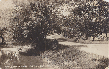
A view looking South along Maplewood Drive in the area that would become Hattie Sherwood Park.
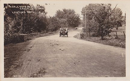
Here we see an early Ford racing down the “Modern” Lawson’s Road west, beyond the lake.
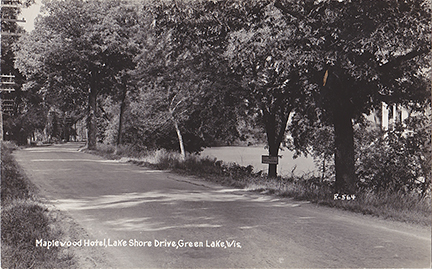
No trespassing along the shore at Maplewood Hotel. The Hotel closed for good in 1956.
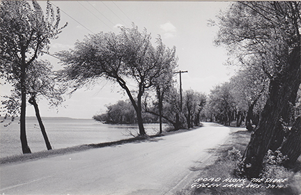
Looking South along the shore of Dartford Bay, you can see Hattie Sherwood Park Island near the center of the photo and the entrance to the campground to the right.
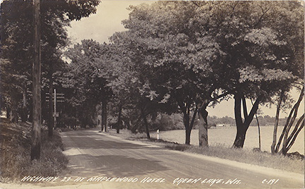
This view is looking north along the original Hwy 23 (Lawson Drive) towards the causeway and concrete bridge. If you look really hard you can just see Norton’s boathouses.
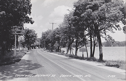
This view is looking north along the original Hwy 23 (Lawson Drive) towards the causeway and concrete bridge. Population of Green Lake shows 560. The Maplewood driveway is on the left.
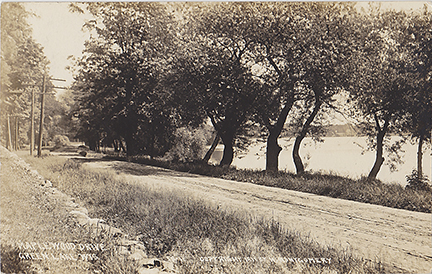
Victor Lawson was very modern in his road building. He built many roads all over his estate. In 1912 he began the last 12 miles of road from his farm to the causeway. It was built as a convenience to the Lawsons and as a favor for the farmers. When it was completed in 1914, it was deeded to the State of Wisconsin and become the original Hwy 23, and later Lawson Drive.