City Views
Views in and around the city of Green Lake
Click on any image to see a full size view of the card.
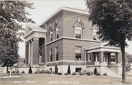
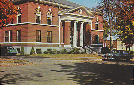
Courthouse Square
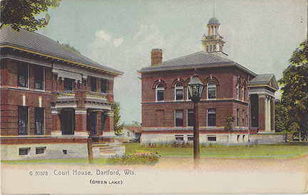
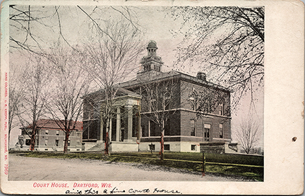
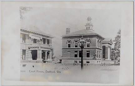
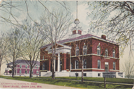
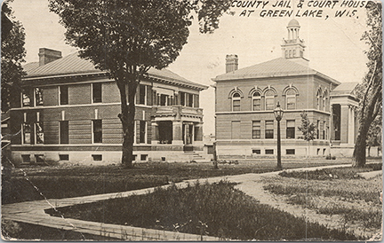
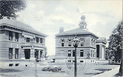
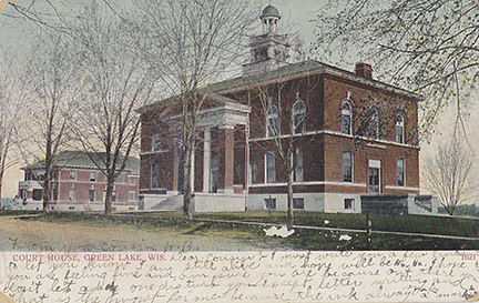
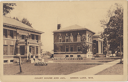
Dartford battles for the county seat and builds a Town Hall.
From 1847 through the 1850’s Marquette was the county seat of Marquette County. At that time Green Lake County was still part of Marquette County. By 1852 the people of the county realized that the center of population was to the eastern part of the county.
In 1853 there was a vote and the people of Marquette County decided that the city of Dartford would be a more convenient location for the county seat, and the officers moved the records to Dartford. When the board of supervisors met in the fall, they decided to disregard the popular vote and forcibly moved the records back to Marquette. For some reason the people did not fight the high-handed affair and Marquette held the county seat for another five years.
In 1856 there was a movement to divide Marquette County and establish Green Lake County from the eastern part of it. The move was defeated by 358 votes. Two years later it was voted on again, and in 1858 Green Lake County was formed.
For the first six years Berlin held the county seat. The city of Berlin even issuing bonds for $8000 and setting aside land for the county courthouse and other county buildings. By 1862, the people south of the lake felt that Berlin was to far from the population center of the county and it was decided to move the county seat to Dartford.
In 1860 an association was formed to raise money for a new Dartford Town Hall. Land was purchased from Mr. Stinson, whose hotel has just burned down. A two-story native stone building with offices on the first floor and an assembly room on the second was being completed when the county seat was moved from Berlin to Dartford.
Dartford was pleased to get the county seat, but it did not offer any land or money as Belin had done. The Town Hall Association rented the town hall building to the county for $275 per year. Dartford held the county seat from 1862 to 1866 when there was another contested election, in which Princeton was selected as the county seat. Dartford contested the vote and won the decision. Princeton took the matter to the Attorney General of the State of Wisconsin who decided that Princeton won the election. Then early one morning, the citizens of Princeton came to Dartford and took the county records to Princeton. A few months later, the mater was taken to the State Supreme Court and the decision was again reversed and Dartford was once again the county seat.
In 1868 the county levied a tax of $3,000.00 with which to purchase the Dartford Town Hall, and in 1869 another tax of $6,000.00 with which to build an office and remodel the second floor of the town hall for a jail.
In 1898 Berlin came forward with free land to move to county seat north, but the political lineups were the same and the southern part of Green Lake County voted to keep Dartford as the county seat.
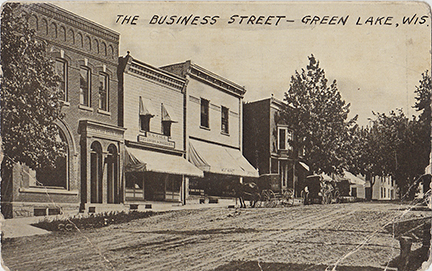
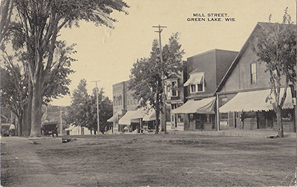
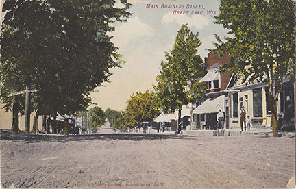
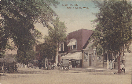
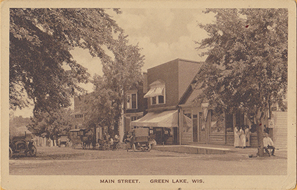
Looking south down Mill Street from Water Street you can see the Green Lake State Bank, W.G. Cole Dry Goods Store, Eaton’s Meat Market & Groceries, Tavern, Deacon Mills Hotel.
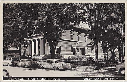
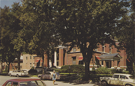
This view is from the middle of the street in front of the court house. The lighter building in the middle was the Deacon Mills Hotel. The Mobile / Ultimart Station is located there now.
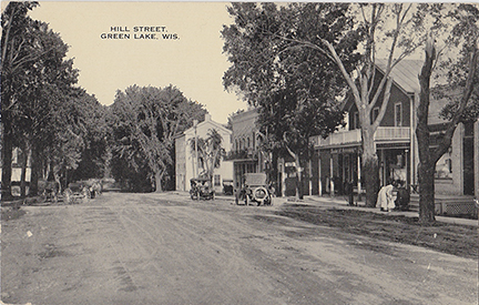
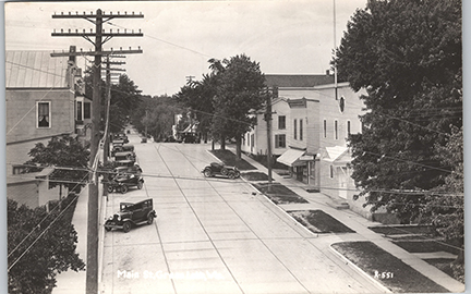
Looking North up Mill Street from the corner of Hill Street.
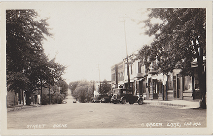
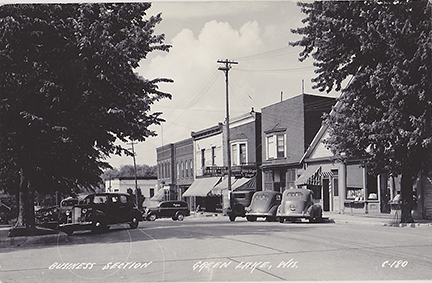
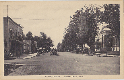
Looking North up Mill Street from South Street. By the time this photo was taken the Opera House has replaced Thrasher’s Hall.
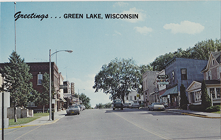
Looking south down Mill Street, at the intersection of Water Street. Zenda’s, Wendt’s Variety Store and real estate on the right. Green Lake Pharmacy and Susanna’s Coffee shop on the left.
Looking North up Mill Street from South Street. The next three cards are the same view from different eras.
This is the same image as the last card, but in a different format.
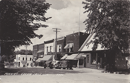
Pay your bill at Wisconsin Power & Light, then stop off and have a cool Old Style Lager on South Mill Street. Happy Stel, the Attourney can help if you drive one of the 1940’s autos after having a few Old Styles on the way home.
Happy, the attorney, could not have done too much business, a barber has moved into his office. Eaton’s Delivery truck is parked in front of the meat market.
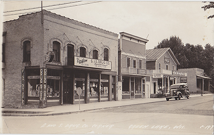
Am early view of the corner of Mill Street & Hill Street. I do not know the name of the Drug store on the corner, it was before Sterns & Shelp bought it. Directly to the west is the Maudlin Groceries and Dry Goods Store. The Dartford Hotel is next to that. This is right across the street form the courthouse.
The corner of Hill St & Mill St. has been the home of a drug store for many years before Clayton Sterns & Donald Shelp bought the building and started up a chain of Drug Stores called S&S Drug Stores. Fred Kradwell ran the store for about a year before he bought the store himself.
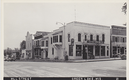
Corner of Hill St & Mill Street, Selle’s Service Store & Greyhound Stop. Mr. Selle operated Selle’s Service Store from 1952 to 1968 when Heidel Enterprises purchased the building and remodeled it into the Little Corporal Restaurant.
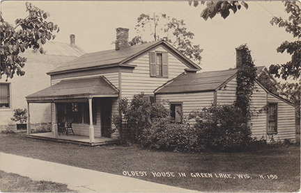
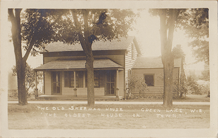
Oldest House in Green Lake, located on Hill Street. The Oldest house in Green Lake lasted until the 1960s when Norman Bierman razed it to build the US Post Office.
The Oldest House in Green Lake was built by the Olin’s across from the court house. Later it became the home of Erna Schlagel until it was demolished by Norman Bierman. I need to find out why it is labeled the Sherman House.
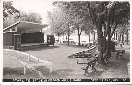
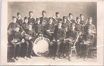
Starlight Stage in Deacon Mills Park, South Street. Harriet (Hattie) Mills donated this valuable piece of lakefront in honor of her father, James C. Mills aka Deacon Mills. Robert Malcolm led many concerts on this stage with the Green Lake Bands he formed.
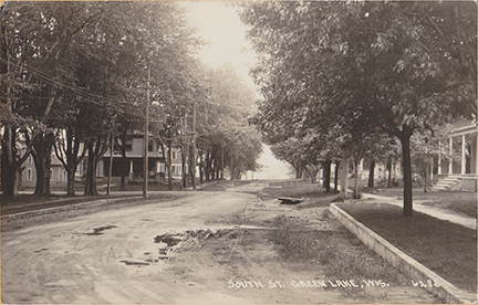
South Street Looking West. Looking West along South Street. Lawson Drive goes off to the left and the house there is the current McConnell Inn.
South Lawson Drive
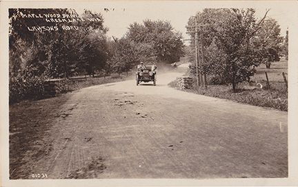
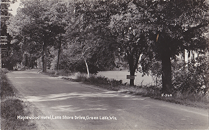
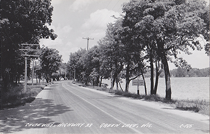
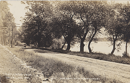
Also known as Maplewood Drive and the the Old Highway 23
Shortly before Jessie Lawson died in 1914, The Lawson’s decided to black-top the road from their estate to the Green Lake Depot, making it the first macadam highway in the State of Wisconsin. After completion Victor received a resolution from the Town Board of the Town of Brooklyn (Green Lake).
Just Do It Jessie’s Way p76
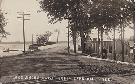
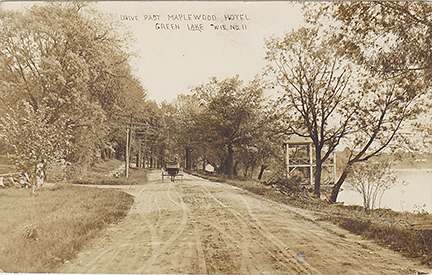
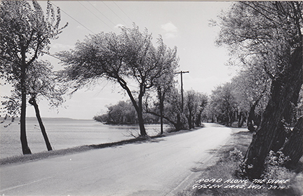
Here is a double wide view of Maplewood Drive. This road along the lake would become State Highway 23 and then later South Lawson Drive. You can see the early view of Hattie Sherwood Beach Island in the center of the photo. You can see the reeds growing behind the island, showing how low the water level was.
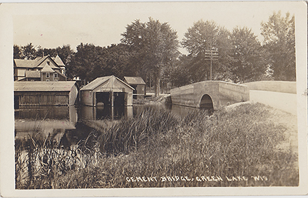
This card is a view looking south. The Captain Pierce’s Boat house is to the right. Looks like Captain Pierce is relaxing by the front door. Norton’s Marina can be seen just past the bridge on the lake side.
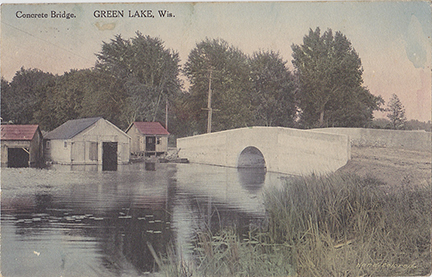
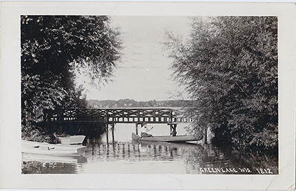
One of the first projects advanced by the residents of Dartford was the building of a bridge and causeway from the village West towards Princeton. This bridge crossing the Green Lake outlet to the Puchyan River would later become part of South Lawson Drive. Captain Pierce’s Boat houses & livery office can be seen across the channel.
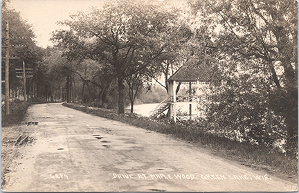
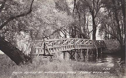
This postcard dated 1922, shows that the spring house has held up very well over the last 10 years. The Maplewood was at it’s peak during the 1920’s & 1930’s.
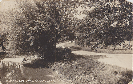
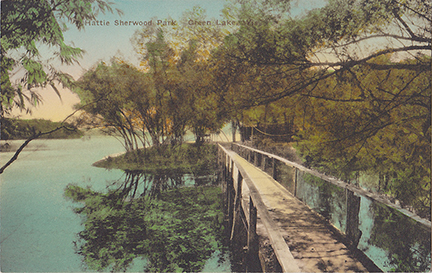
A view looking South along Maplewood Drive in the area that would become Hattie Sherwood Park.
Old car cruising down Maplewood Drive. Here we see an early Ford racing down the “Modern” Lawson’s Road west, beyond the lake.
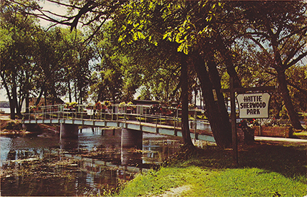
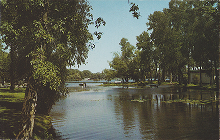
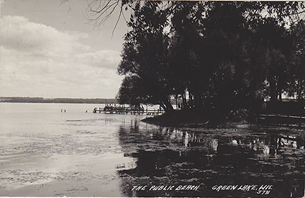
Looking South along the shore of Dartford Bay, you can see Hattie Sherwood Park Island near the center of the photo and the entrance to the campground to the right.
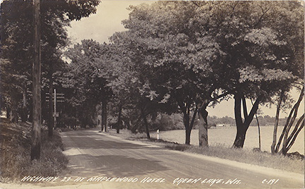
This view is looking north along the original Hwy 23 (Lawson Drive) towards the causeway and concrete bridge. If you look really hard you can just see Norton’s boathouses.
This view is looking north along the original Hwy 23 (Lawson Drive) towards the causeway and concrete bridge. Population of Green Lake shows 560. The Maplewood driveway is on the left.
Victor Lawson was very modern in his road building. He built many roads all over his estate. In 1912 he began the last 12 miles of road from his farm to the causeway. It was built as a convenience to the Lawsons and as a favor for the farmers. When it was completed in 1914, it was deeded to the State of Wisconsin and become the original Hwy 23, and later Lawson Drive.
Hattie Sherwood Park
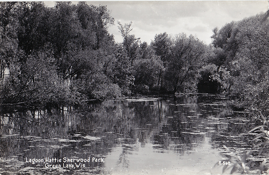
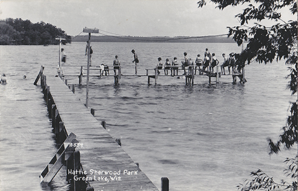
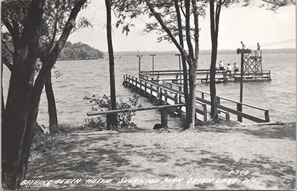
After the Kutchin family stopped hosting guests at the Maplewood Hotel in 1956, they donated a parcel of land to the village of Green Lake for a public park and named it Hattie Sherwood Park in Memory of William Sherwood’s daughter. When the Kutchin’s deeded the land to the village they stipulated that “the land shall be kept and maintained as a public park” the park shall be preserved and maintained as a sanctuary, safe resort, breeding and resting place for birds of every kind and the city shall take every precaution to prevent the use of firearms at the park.
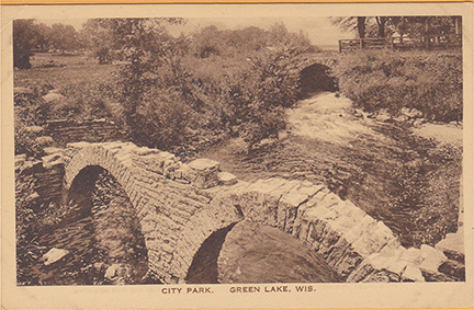
Playground Park, The Dam and The Mill Pond
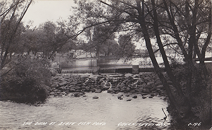
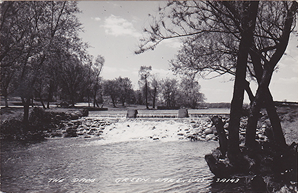
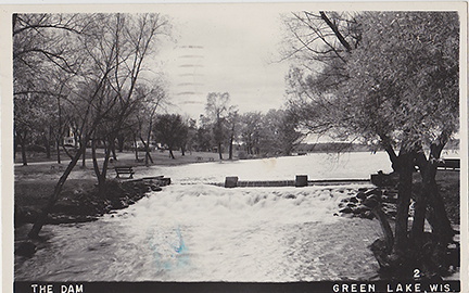
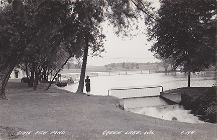
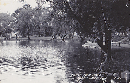
The area that is now known as Playground Park was created when the original Sherwood Mill Site was filled in and the park was created by a W.P.A. Project in the 1930’s. I am not sure when the State Fish Farm was in the Mill Pond, looking at the images I would guess the 1950’s.
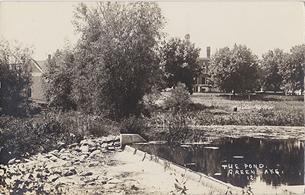
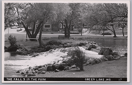
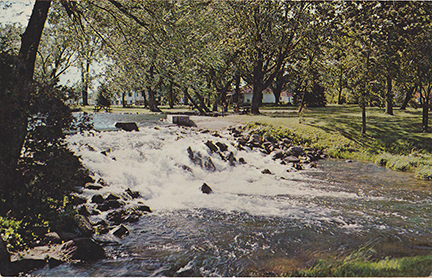
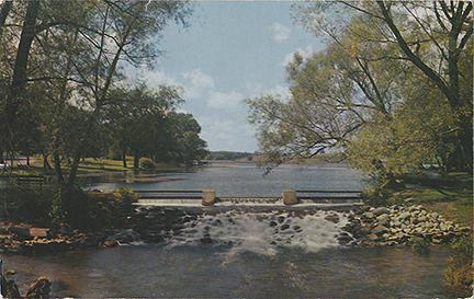
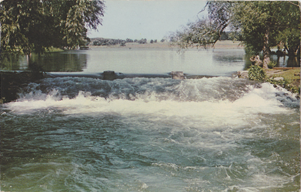
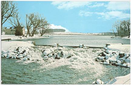
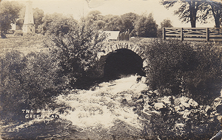
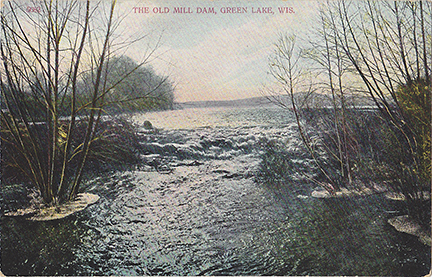
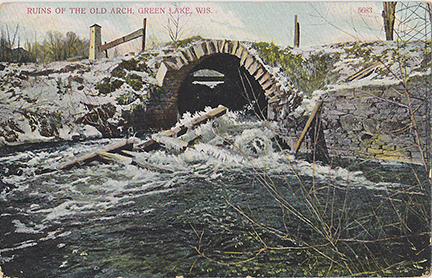
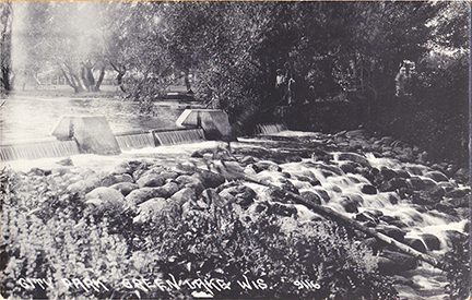
The Dam at State Fish Pond. This is an early view of the dam at the Mill Pond, before it was used as a fish pond.
This is a view of the dam when the mill pond was being used as the State Fish Pond – The buildings in the background are the Fish Rearing Facilities.
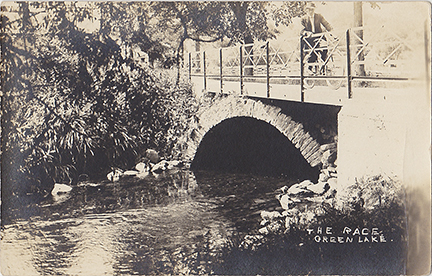
This is a nice view of the south channel with a fence to keep the fish from escaping.
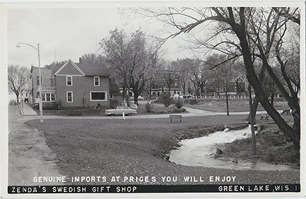
1950’s View of the main channel of the Dam looking South. Zenda’s gift shop and the court house is in the background.
The Dam at the Mill Pond. Looking North across the Main Channel.
In this nice winter scene, you can see the apartment building where the Netzow Apartments are now at the corner of Hill & West Streets. This view is looking west from Playground Park.
Looking South West across the Mill Pond from Playground Park.
The site of the Sherwood Grist Mill that would become Playground Park in the 1930’s.
Here is a look further up the original channel of the Puchyan River. You can see the water tower in the top left of the photo. It provided water for the Jail & Courthouse.
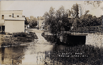
The location that Anson Dart forded the Puchyan River when he arrived here in 1840. Located at the low spot in the river near the bridge on Mill Street.
Zenda's Swedish Gift Shop
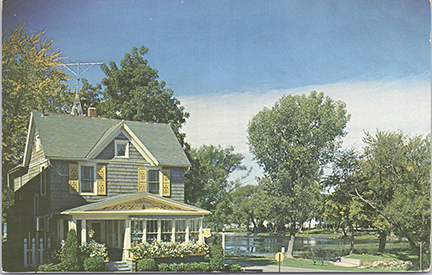
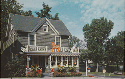
Zenda’s Swedish Gift Shop, on the corner of Water Street and Mill Street, was run by Kenneth and Zenda Eaton. This was the home of their parents, Cassius (Cash) & Margaret Eaton. Cash was elected sheriff in 1899 and later he and his wife ran Eaton’s Market on Hill street for many years until their son Hank took over and ran the store for 40 years.
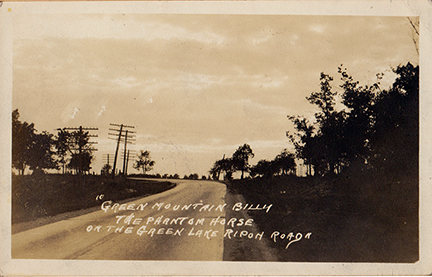
The Phantom Horse – On Former A. Alvin Farm – Hwy 23
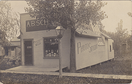
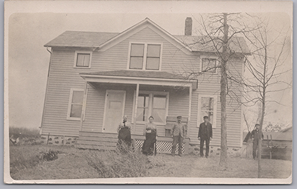
We have been unable to figure out the location of this photo studio.
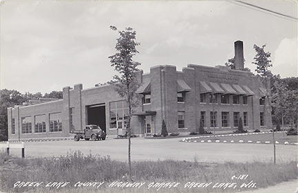
The “New” County garage was built east of town on South Street in 1937.
